Imus Geographics
Trails of Mount Pisgah, Oregon
Trails of Mount Pisgah, Oregon
Fine Art Print, Ships Free
Couldn't load pickup availability
Click here for a free 14" x 11" pdf of this map that you can save to your device and/or print.
Dave’s Faves • Hikes at Mount Pisgah
Dave's Fave Route to the Top • 4.22 miles round trip • 1,058 feet elevation gain
Rainforest and Oaks • 6.95 miles, 1593 feet elevation gain
Outer Loop • 9.75 mile loop • Approx. 800 feet elevation gain
Wheelchair Hike • 2.16 miles out and back • Approx. 50 feet elevation gain (to the end)
Open-Sky Route • 7.86-mile lollipop with spur to the summit • 1526 feet elevation gain
___
For years, I had wanted to make a map of Mount Pisgah. Now I have.
Even though I've hiked here frequently for 40 years, Trails of Mount Pisgah has enhanced my love and understanding of this special place. I believe it will enhance your love and understanding, too. It has also helped me become a more creative route planner, which has led to a greater variety of hikes!
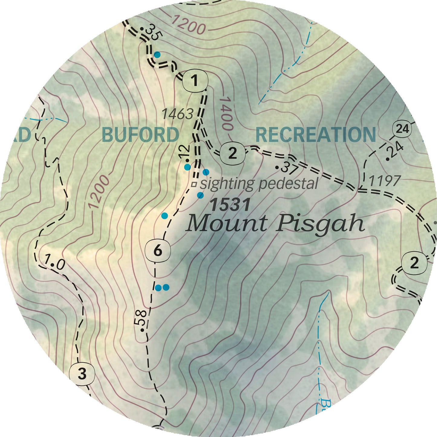
This work shows pedestrian trails in red and pedestrian/equestrian trails in black; plus trail numbers and distances, 40-ft contours, spot elevations, benches, and much more. The cartography rests on a depiction of Mount Pisgah as it might appear in the warm glow of a summer evening. The combination is informative and pleasing to the eye.
Art prints are available in many sizes. Use yours for route planning, calculating mileage, and general appreciation of this amazing place.
Share